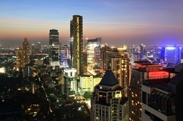
A GIS (Geographical Information System) has given us a new way to model and observe the world. A GIS can map out the topography of a location, the density of certain social group or profession in different areas of a city, or even help to predict where hurricanes are going to occur based off of their previous locations. GISs are often constructed using data pertaining to the landscape, population, and climate of a given area. They can also simulate human interaction with specific areas and spaces. Learn more here: http://en.wikipedia.org/wiki/GIS
Explain how you could use GIS to inform the design of a city by answering the following questions:
1) What element of the city would benefit most from GIS simulations? Why? (e.g. traffic simulations, downtown design, park locations, etc)
2) How could you set up a test in a real city in order to prove the efficiency of your model?
Note: All ideas should be original. Additionally, there are no jobs being offered in associated with this challenge
-
Submissions will be graded on the following criteria:
- Meets Deliverables
- Creativity
- Clarity
will receive $150 each
will receive $50 each
| $150.00 |

|
Logan May University of Pennsylvania | |
| $150.00 |

|
Trevor Holmgren Johns Hopkins University | |
| $150.00 |

|
Linda Navarette Rensselaer Polytechnic Institute | |
| $50.00 |

|
Claire Kouba Stanford University | |
| $50.00 |

|
Trenton Jackson University of Notre Dame | |
| $50.00 |

|
Ryan Ma University of California at Berkeley |